Overarching science questions:
[1] How to faithfully monitor, understand, and predict the response and feedback of terrestrial ecosystems to global environmental changes?
[2] How to assess and enhance sustainability in both natural and human-managed ecosystems?
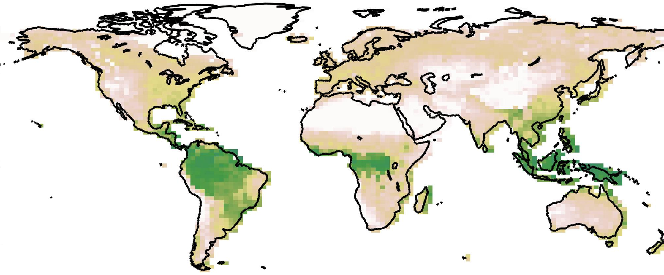
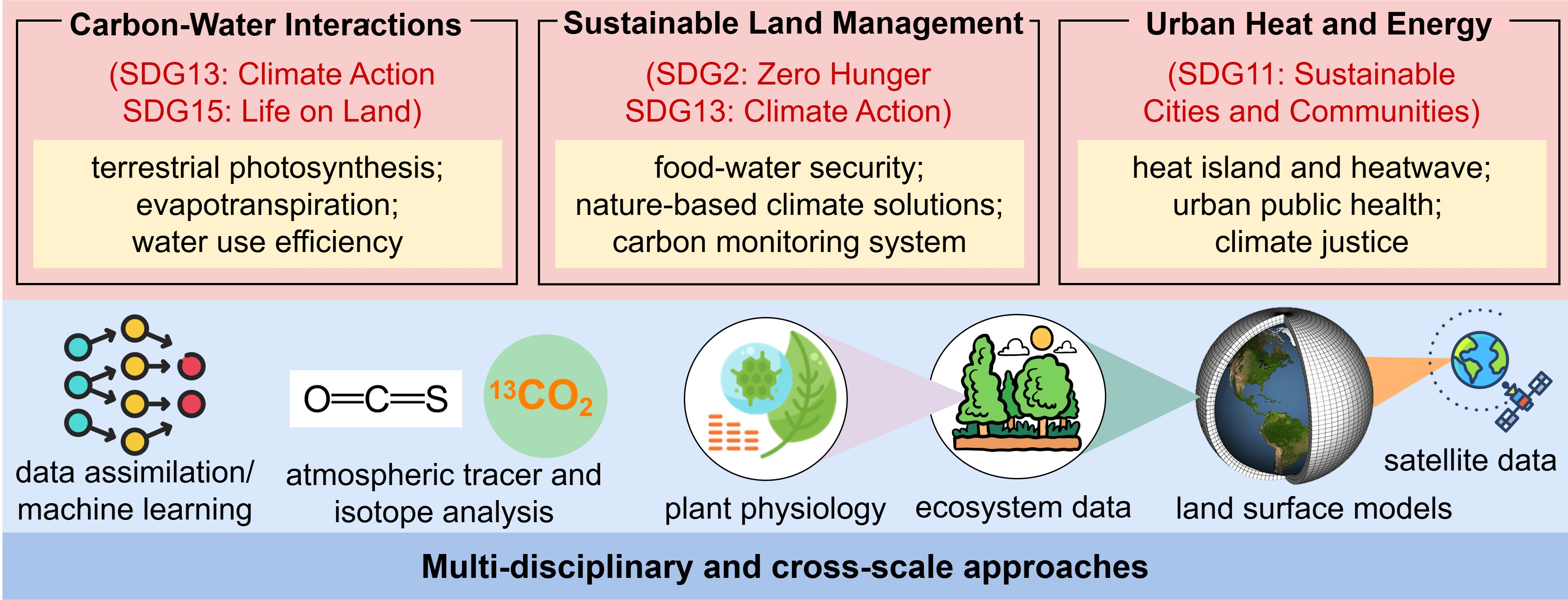
My research scope is categorized into three themes integrating multi-disciplinary approaches.